
NASA Space Apps Challenge 2026
The Moon is complicated.
Exploring it shouldn’t be.
Meet LUNA. Explore the Moon’s south pole, visualize sunlight and Earth visibility, and compare potential landing sites through one intuitive interface.
The Mission
Sunlight doesn’t
guarantee a signal.
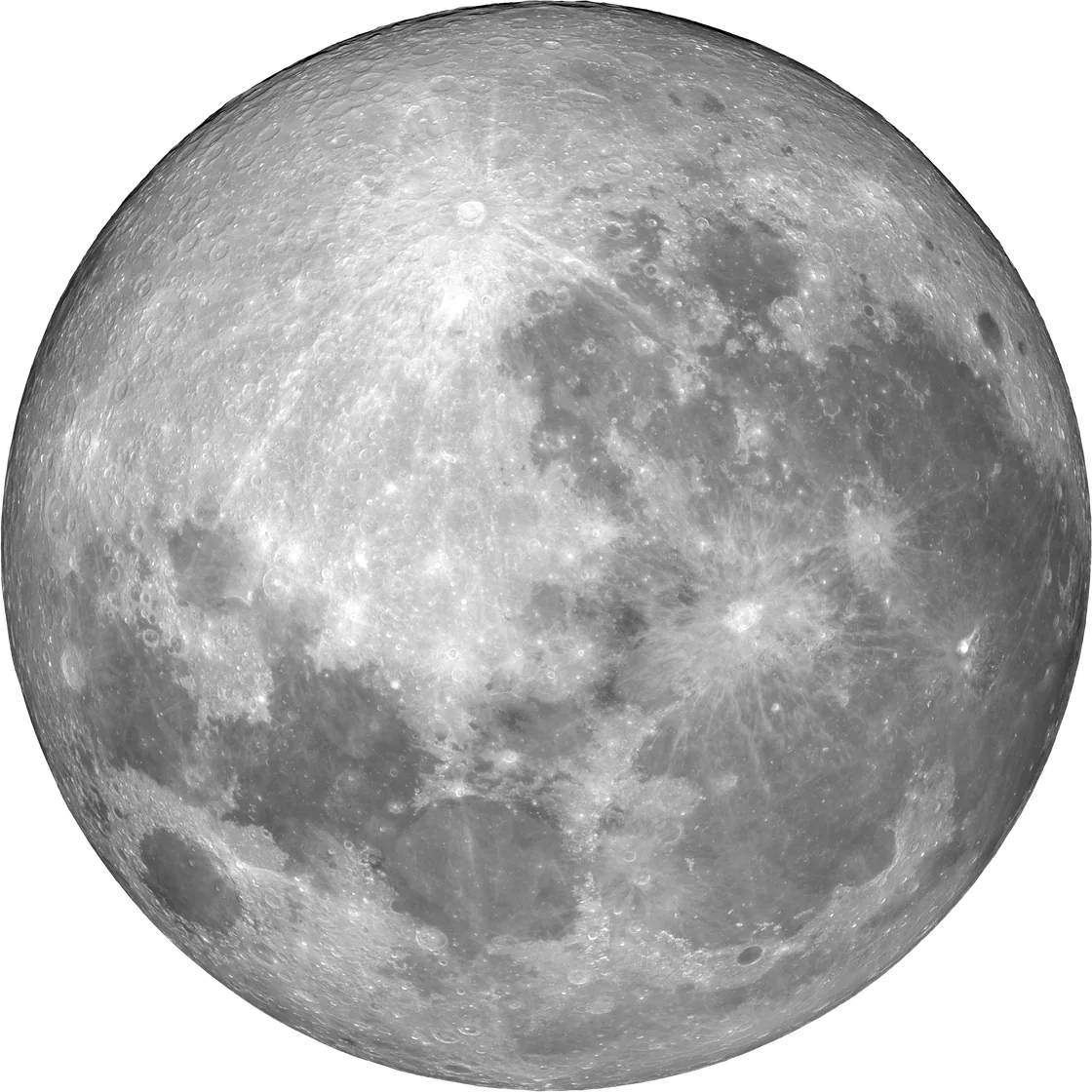
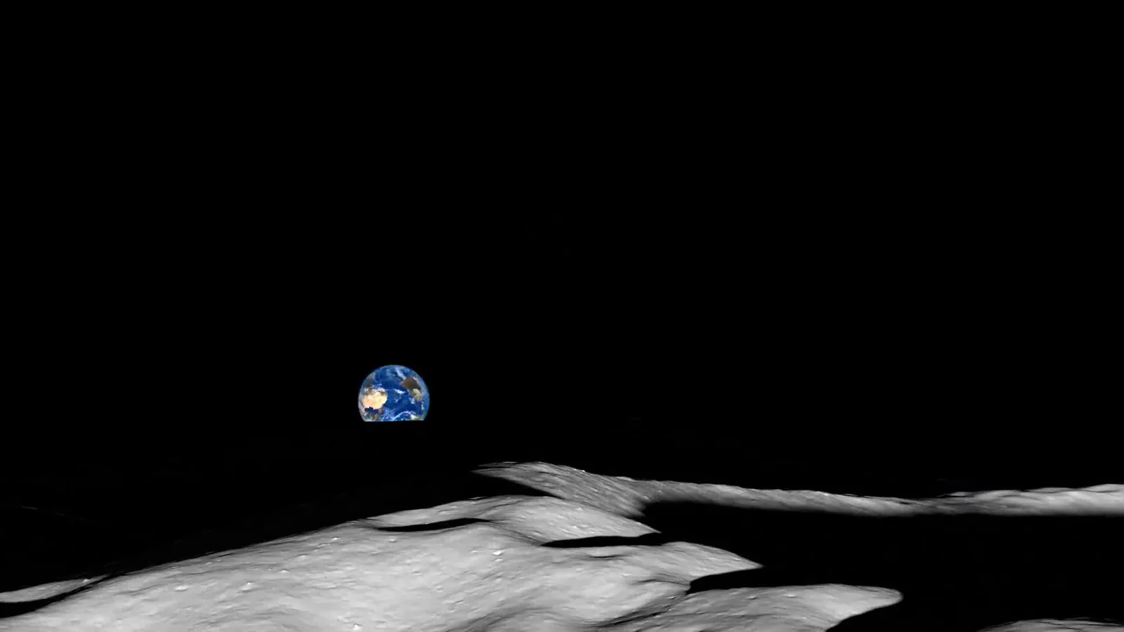
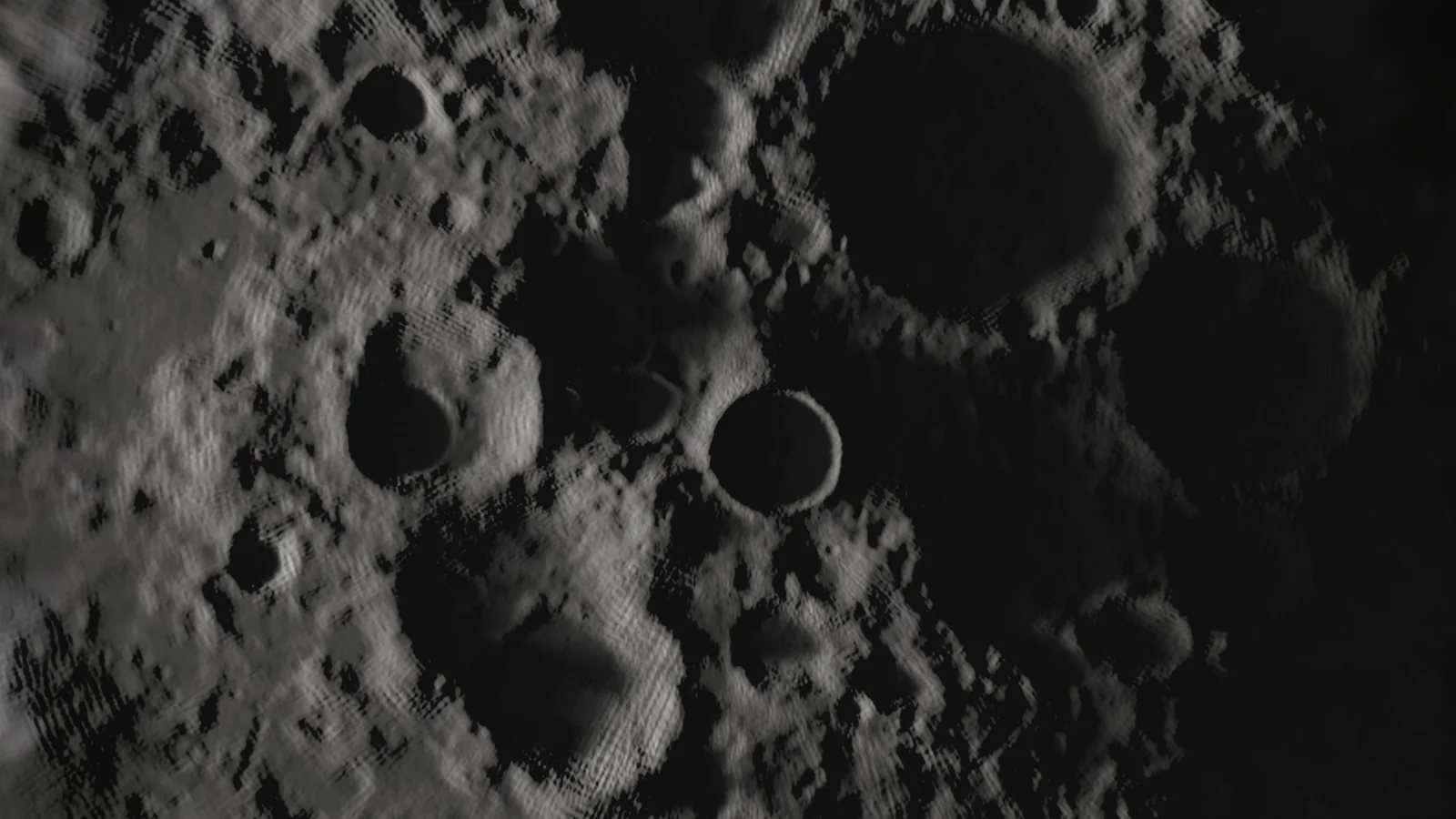
At the lunar south pole, surrounding terrain can block sunlight and direct communication with Earth. A promising landing site may offer favorable conditions at one moment and very different conditions at another.
Where you land, and when, changes everything.
Meet LUNA.
Watch introductory film
One interface.
A clearer perspective.
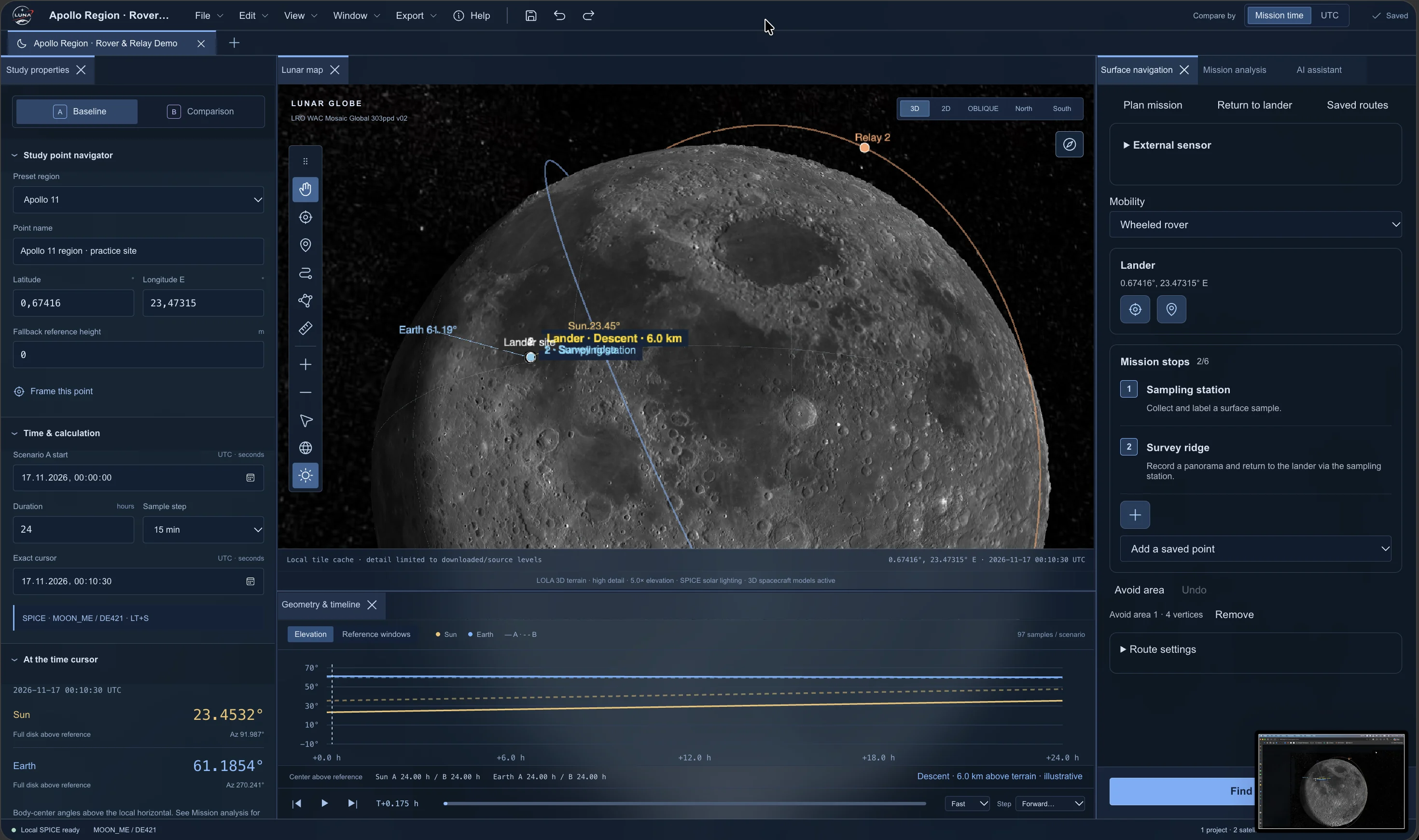
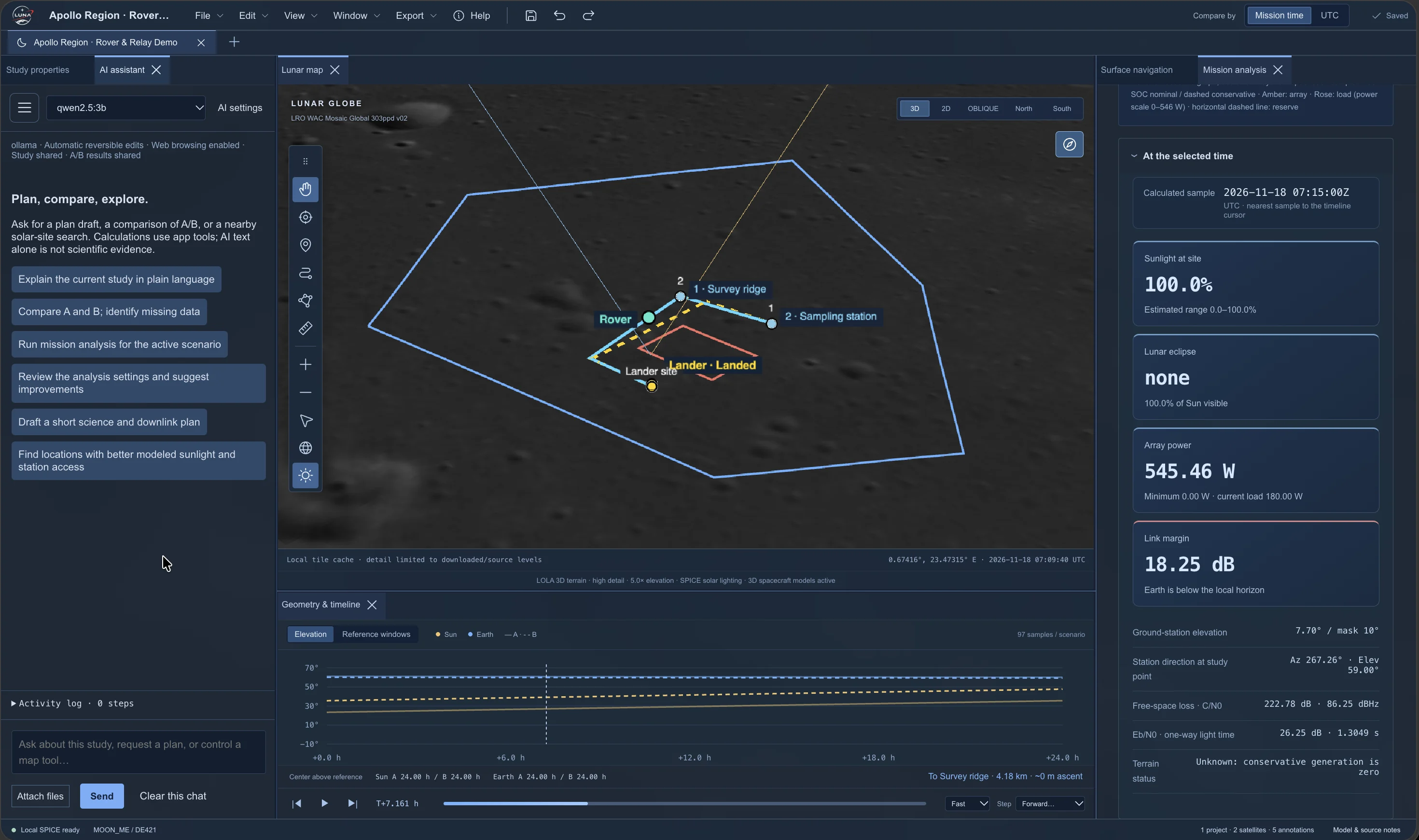
LUNA brings lunar terrain, Sun and Earth positions, and mission timing into a single interactive workspace.
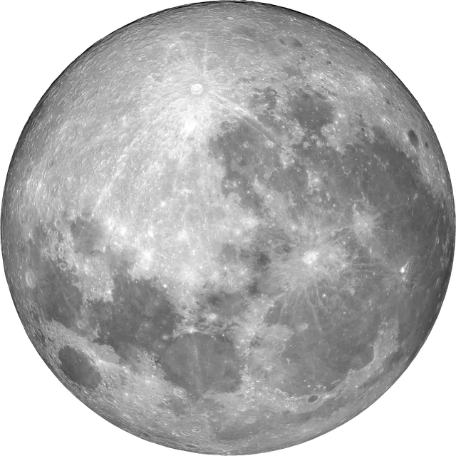
Illumination
Follow the Sun.
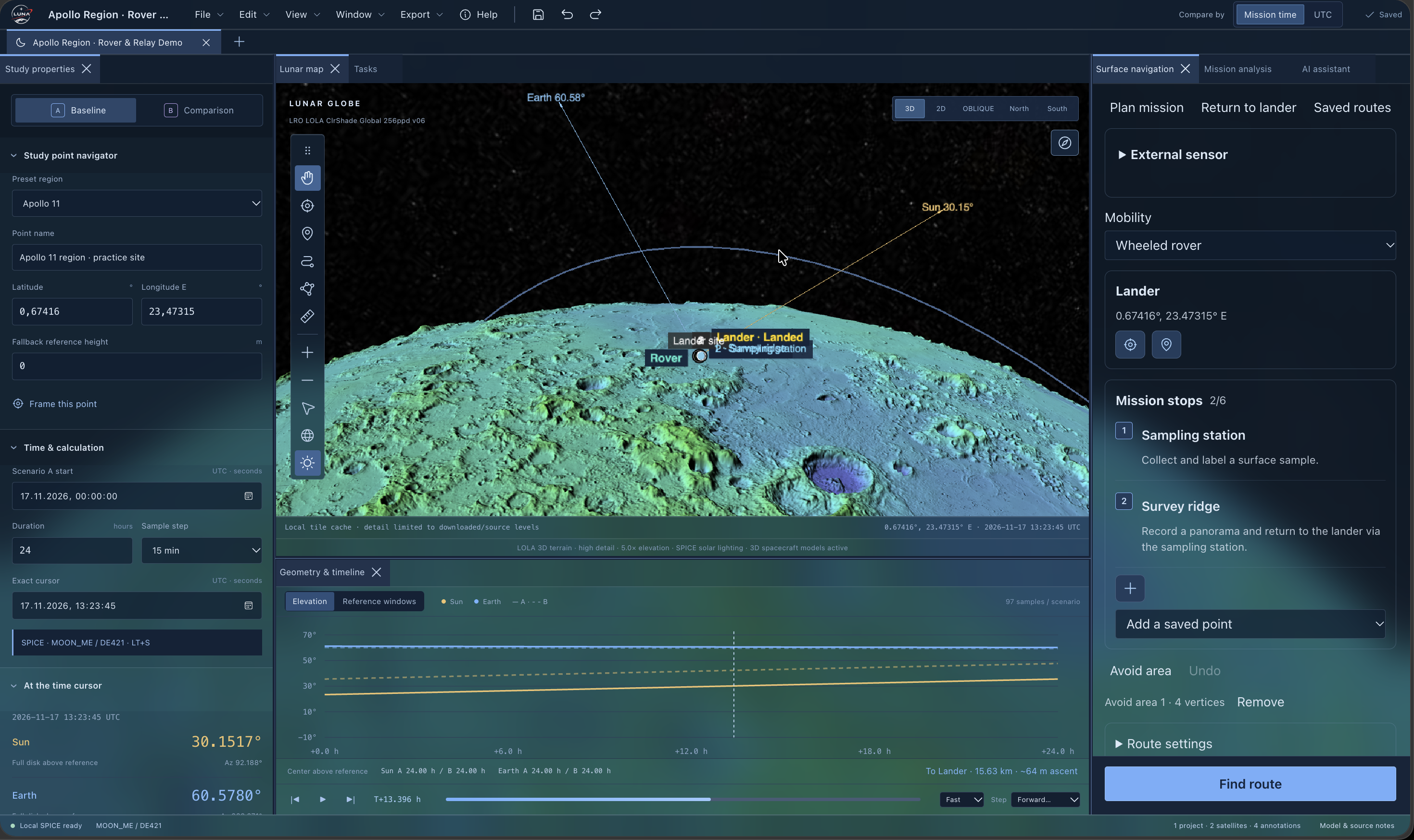
Examine how the Sun moves relative to the local lunar horizon and explore potential illumination periods.
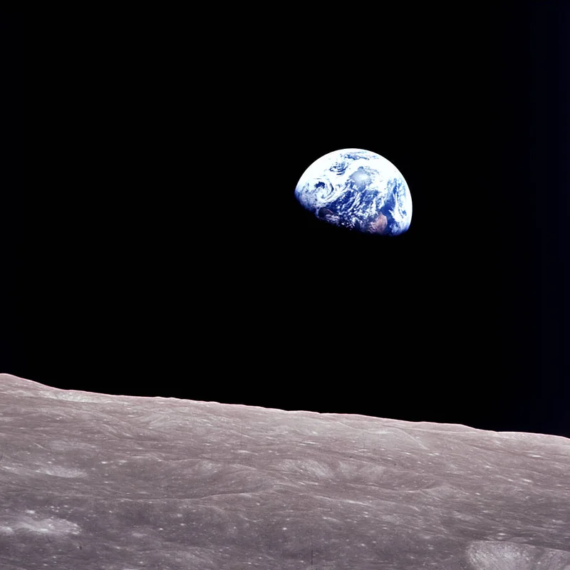
Earth Visibility
Stay within
sight of Earth.
Explore when Earth appears above the local horizon and identify potential direct-to-Earth communication opportunities.
Site Comparison
Two sites.
Different possibilities.
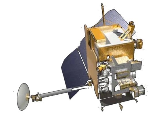
Compare candidate locations and mission dates to understand how illumination and Earth visibility conditions vary.
Three Steps
From location to insight.
Choose a site.
Select a location near the lunar south pole.
Set your mission date.
Explore changes in Sun and Earth positions over time.
See the conditions.
Inspect visibility, review potential windows, and compare locations.
Behind the Interface
Built around
lunar geometry.
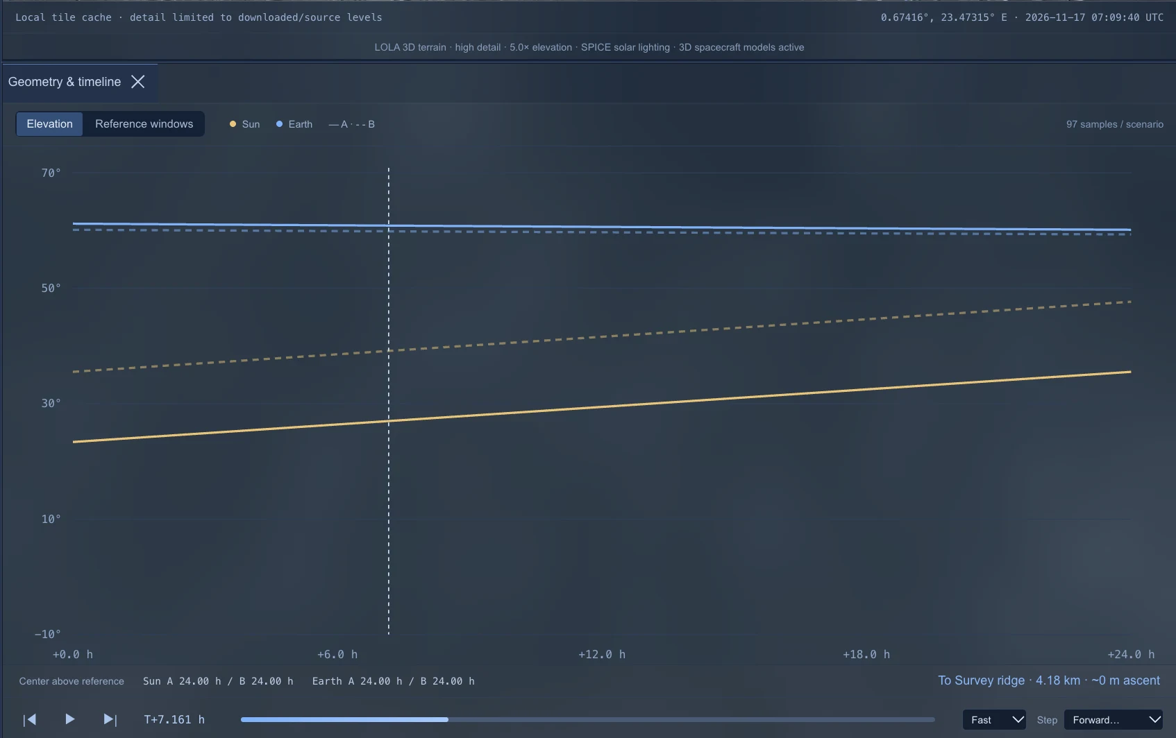
LUNA uses lunar terrain information and celestial position calculations to visualize how the local horizon affects sunlight and Earth visibility.
Lunar terrain
Terrain elevation helps establish the local horizon.
Celestial positions
Sun and Earth positions are evaluated for selected locations and times.
Visibility analysis
Apparent positions are compared with the horizon to screen potential visibility windows.
See the datasets, research, equations, and methods used to build LUNA.
Explore the science & sourcesMade for curious minds.
Mission Planners
Explore candidate sites and potential operating conditions.
Students and Educators
Understand lunar geometry through interactive visualization.
Space Enthusiasts
Discover what makes exploration of the Moon’s south pole challenging.
About the Project
Created to make lunar exploration more accessible.
I’m Artem Kachan, a student and software developer from Ukraine. I created LUNA to make complex lunar exploration concepts easier to visualize, compare, and understand.
LUNA is a hackathon project focused on understanding illumination and communication constraints at candidate lunar south pole landing sites.
Explore the Demo
NASA Space Apps Challenge 2026
Your journey starts
on the Moon.
Explore the lunar south pole with LUNA.